GeoComputing

Taking a broad approach the term GeoComputing can be interpreted as the application of techniques from the fields of Informatics and Scientific Computing to problems in the Geo Sciences. The importance of GeoComputing is constantly growing for two reasons:
- On the one hand, the analysis of observational and measurement data today is computer-based and requires e.g. efficient algorithms from Computational Statistics and database management.
- On the other hand, over the last decades numerical simulation has firmly established itself as a third pillar of science besides theory and experiment/obervation for improving existing and gaining new knowledge.
Within this context the GeoComputing Group Munich puts its focus of research on the following topics:
- Design, implementation and tuning of parallel geophysical simulation codes
- Provision and management of high-end computing facilities for large scale geophysical simulation runs
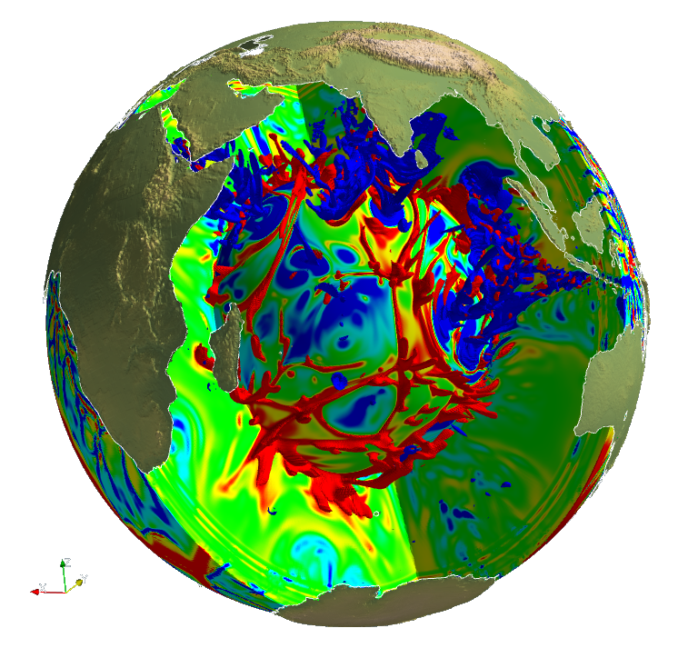
- Interactive 3D visualisation of large multi-faceted datasets
- Management and design of databases for simulated and observational data including questions of efficient and web-based access
This work accompanies the further research performed at Munich Geophysics, especially in the fields of Geodynamics and Seismology where large-scale numerical models are developed and applied.
