Exploration Seismology
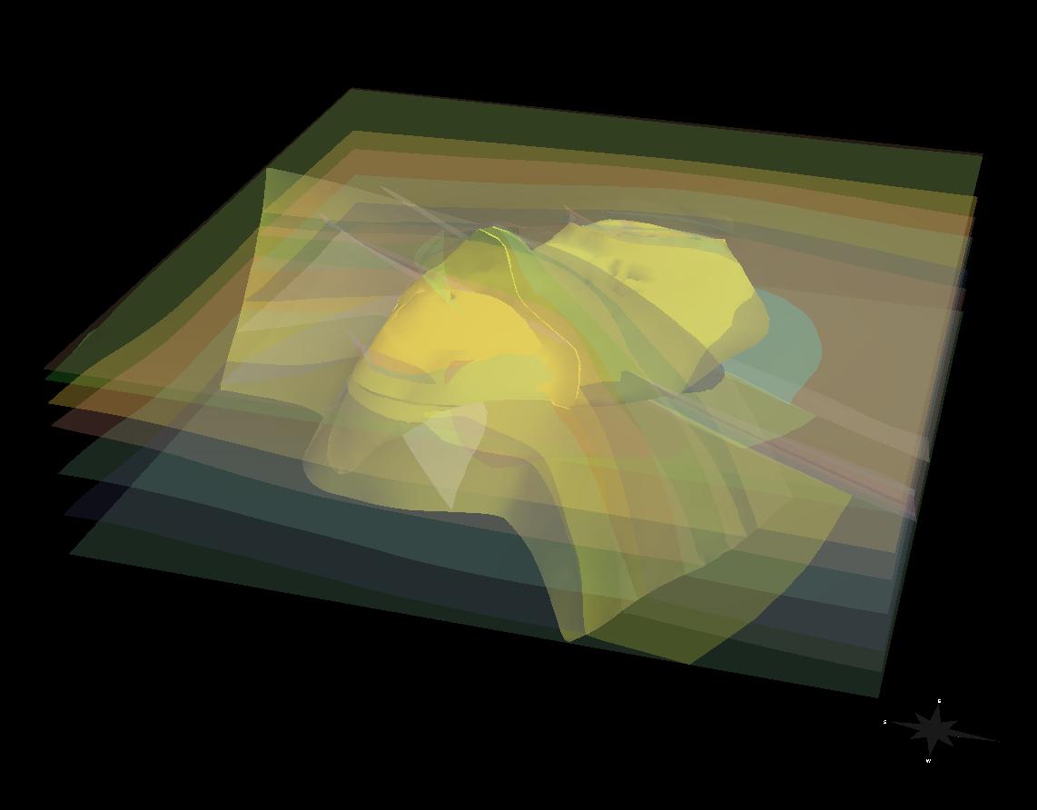
Surface seismic data generally provides a large-scale picture of the geological subsurface and the geometrical features of a reservoir.
Seismic simulations are used for model validation or survey design.
In particular, time-lapse seismic measurements allow for the assessment
of changes in the subsurface with time, such as fluid movement or effects of secondary oil recovery.
Therefore, reservoirs are described by dynamically changing properties and reduced
turn-around times for model updates through efficient model building technologies are becoming an increasingly
important issue in oil and gas exploration.
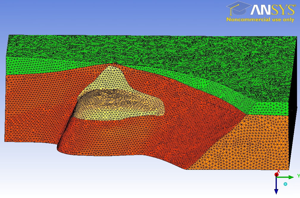
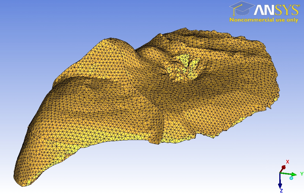
SeisSol is capable of using unstructured tetrahedral meshes for the accurate simulation of seismic wave propagation phenomena.
Especially for geometrically complex models, such as the SEG/EAGE salt model, the mesh can be aligned to complex shapes of free surface
topography, structural interfaces, or faults. We emphasize that a crucial precondition of the automatic mesh generation process is
the exact definition of the model's geometry.
It is important to remember that the accuracy of the numerical seismograms
depends on three factors:
- the mesh spacing
- the approximation order
- the propagation distance of the waves